Day 36: 21.2 | 909.7

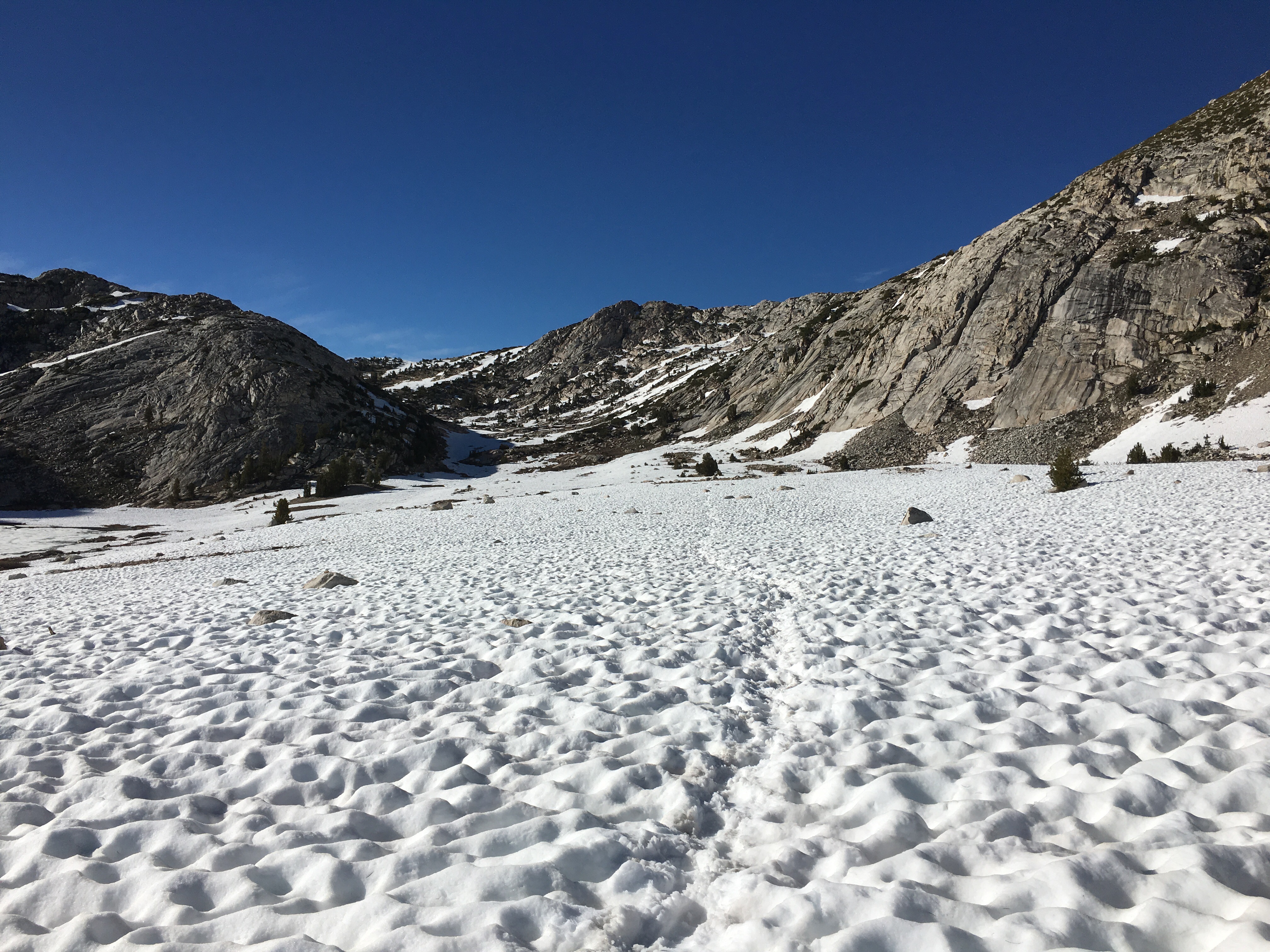
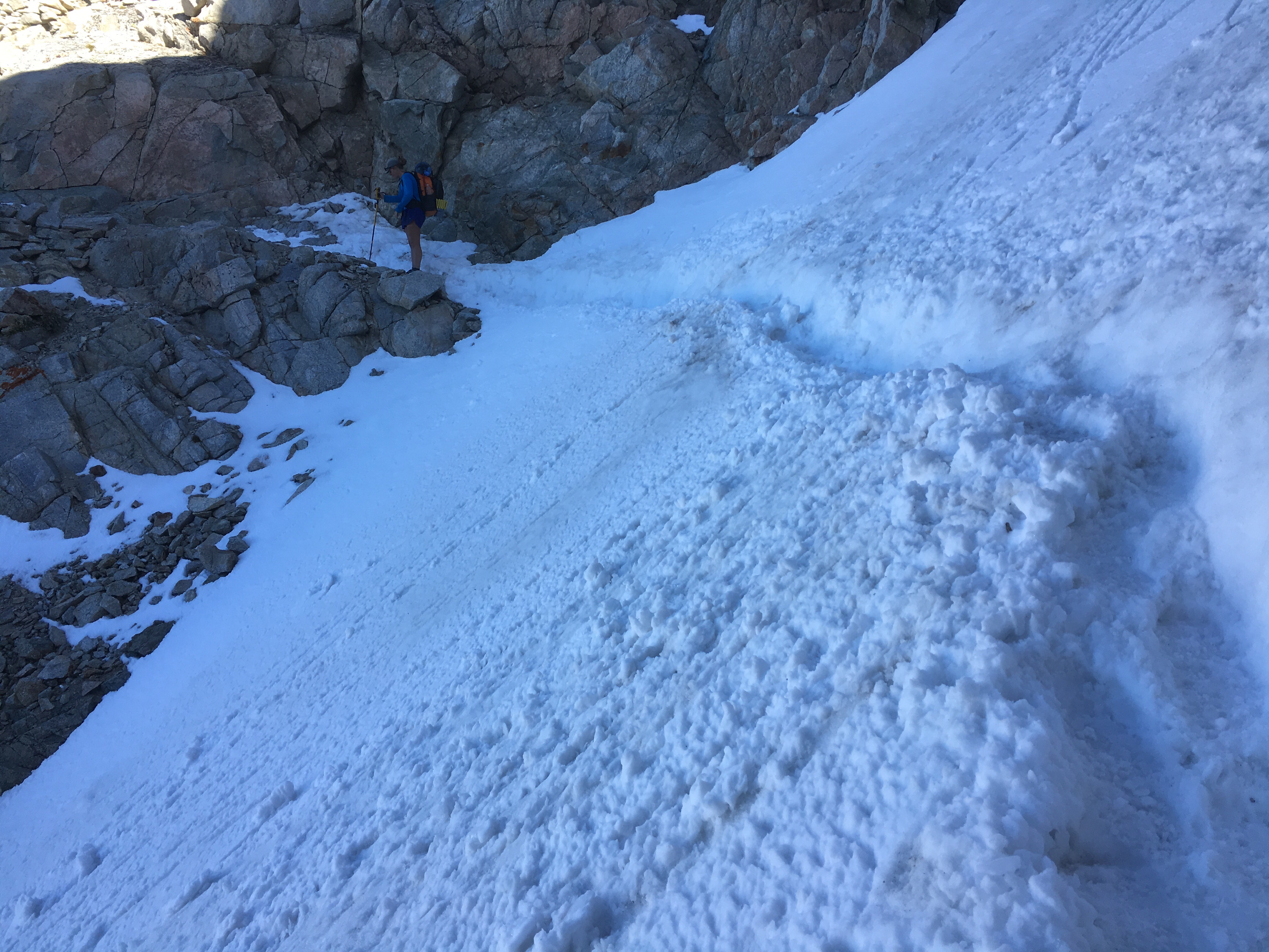
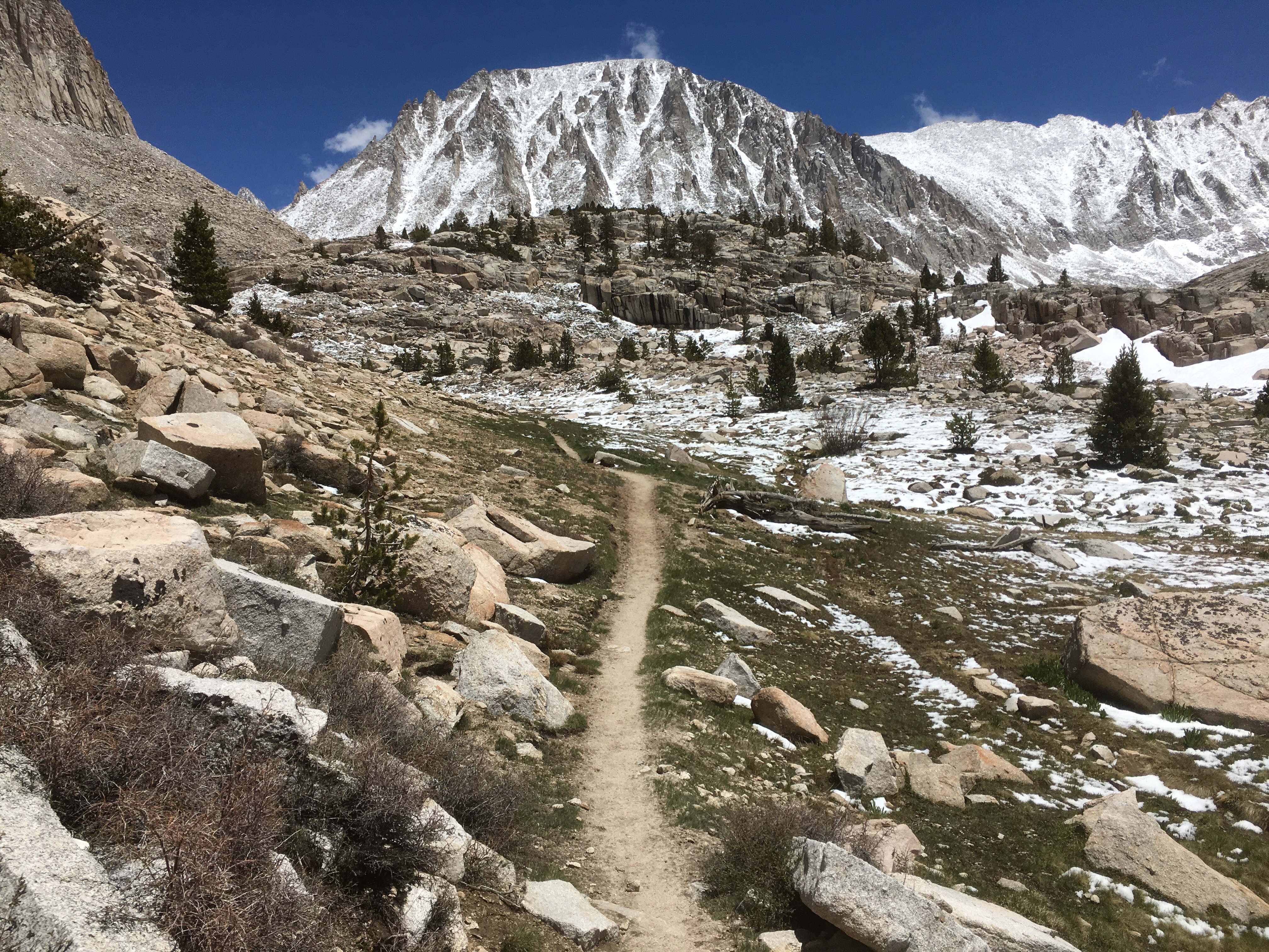
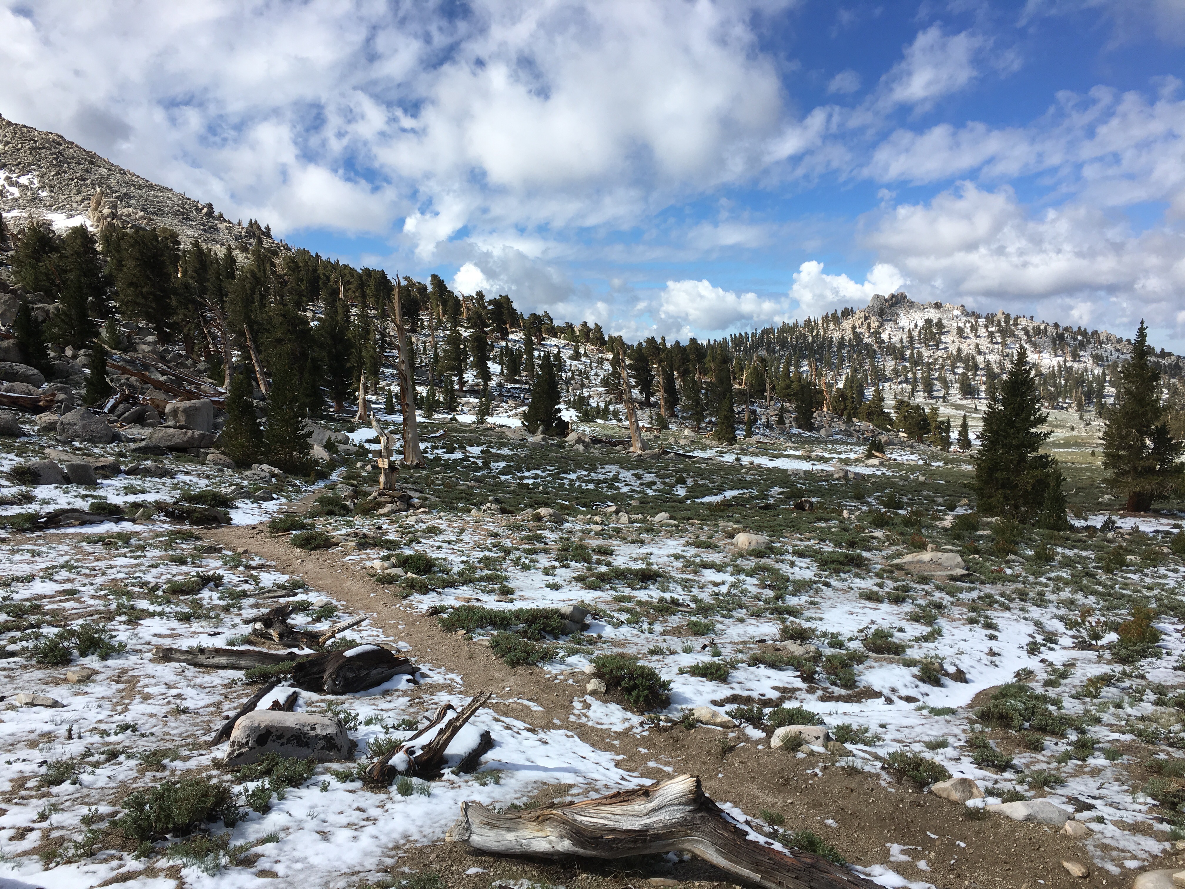
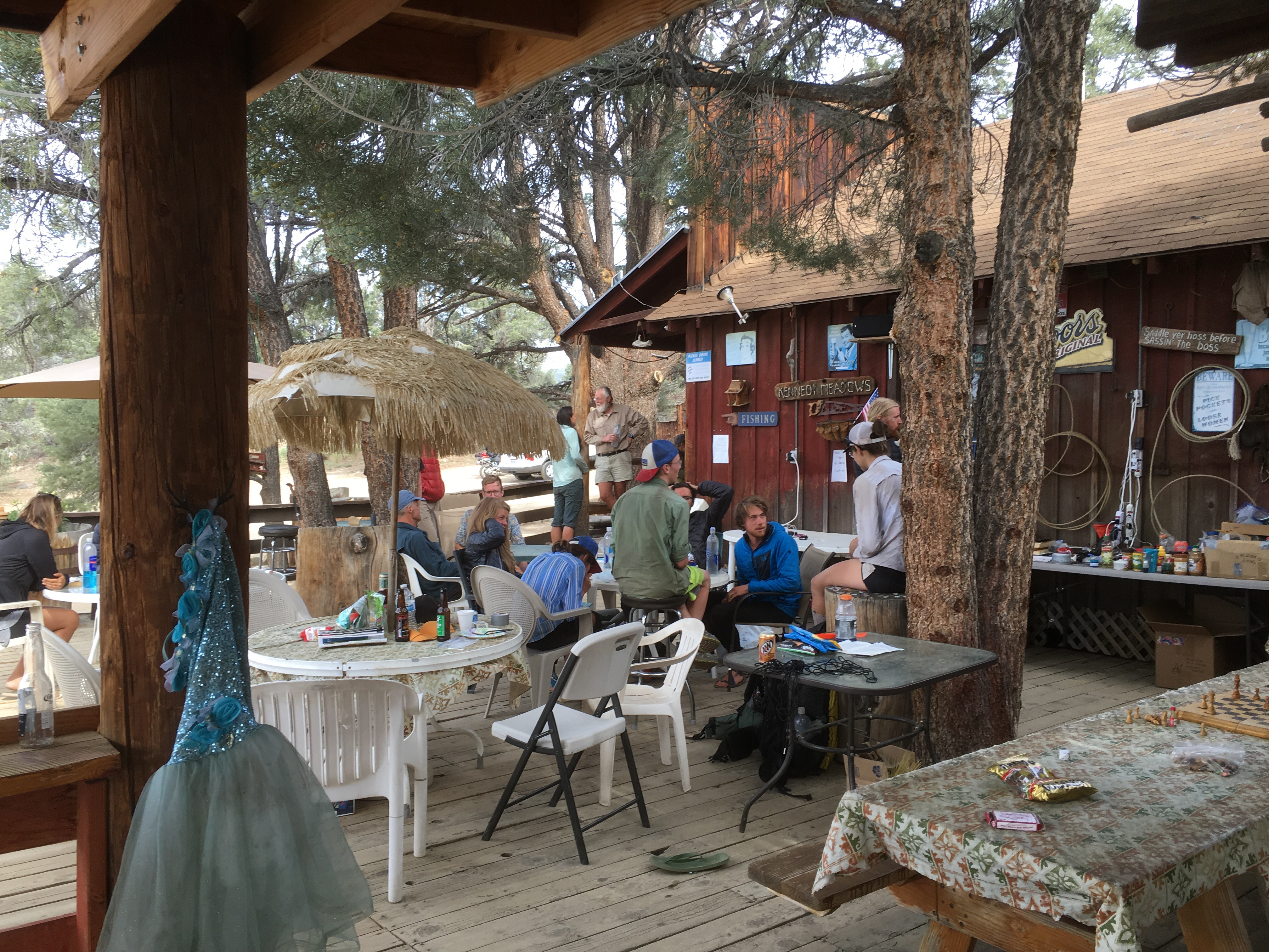
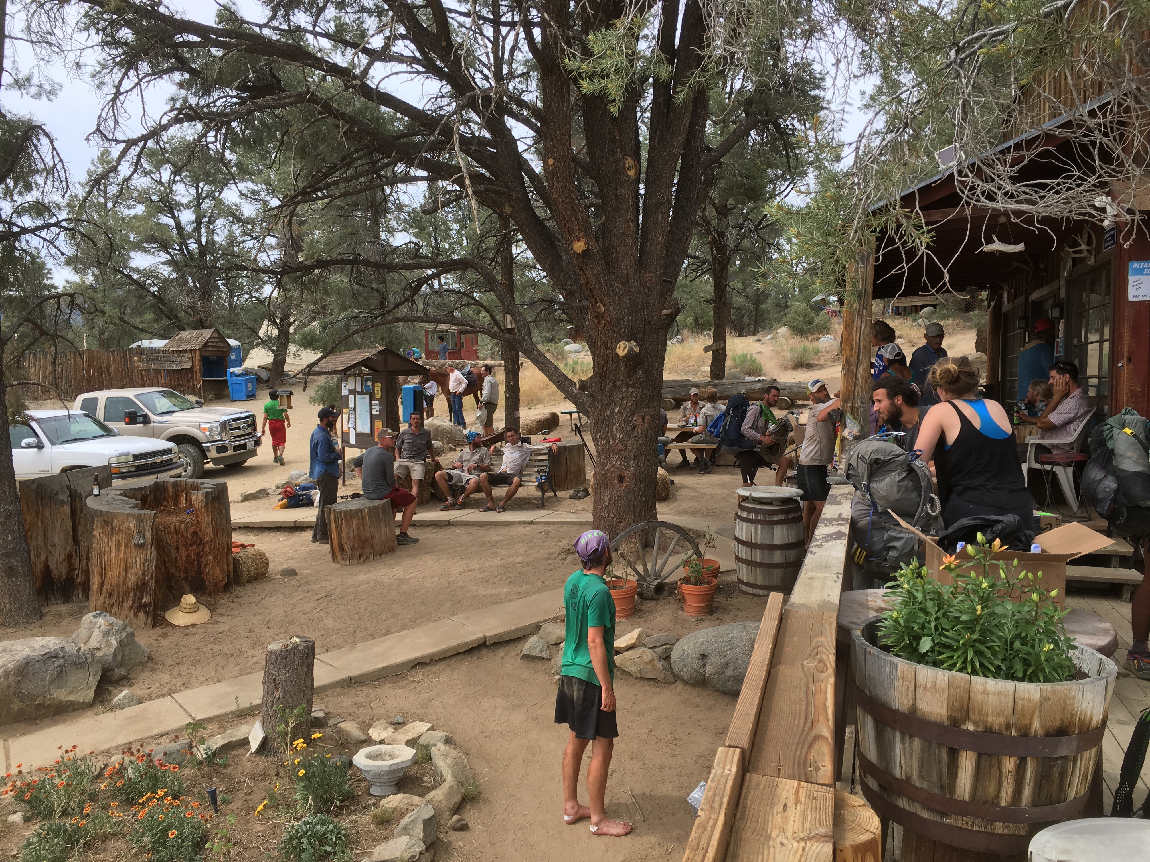
Slept in till 6, really didn’t want to move this morning. Dealt with some snow for the first few hours until the decent to Reds Meadow. The last few hours before every resupply stop are the longest. Got there around 1:30. Great place, there was a restaurant, general store, laundry, showers, running water, flush toilets, outlets, free wifi along with good cell service. Pretty much everything a thru hiker wants, and it’s less than half a mile off trail. You can spend the night here but I just spend most the day relaxing after three thirty mile days. It’s only 36 to the next resupply so I’m bringing two days of food. 

The timing worked out perfectly since I had cell service there and it just so happen to be Fathers Day so I could call my dad. 
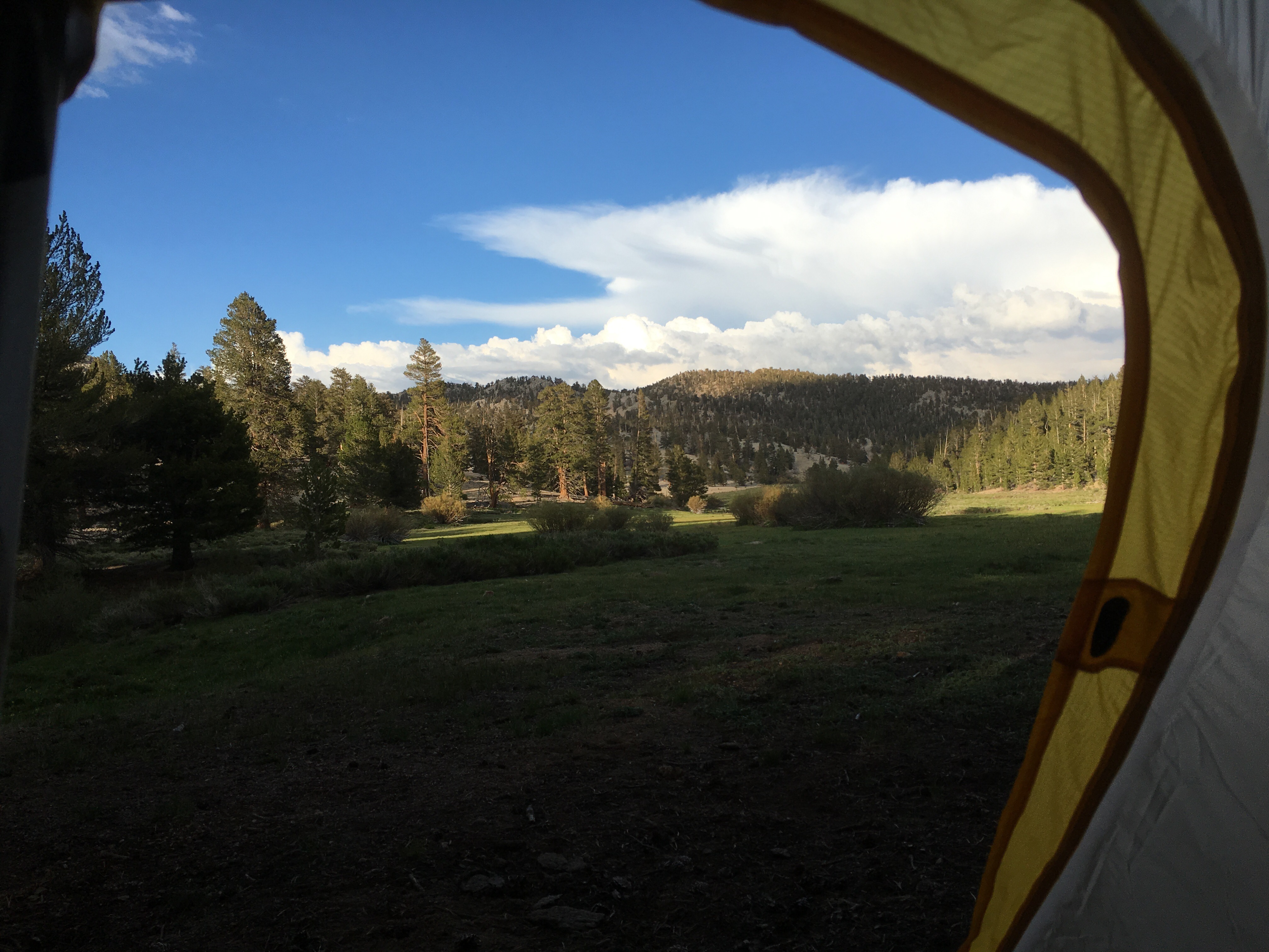
Sonic and I ate at the restaurant twice. We ended up leaving at 7PM, a little later than I wanted but I couldn’t resist sitting there and doing nothing. Only did about three miles to a camp spot. My belly was full so all I ate was a packet of tuna. That ended up being good because the mosquitos were terrible, swarms of them everywhere. I have no idea how people sleep with no protection from bugs, I’d go insane. Just watching them try to get into my tent is kind of freaky. I heard they’re supposed to get real bad from here on out…
Also found out today is game seven of the NBA finals, I wish I could be watching it.

Day 35: 29.7 | 888.5

My insomnia came back last night. Couldn’t fall asleep until after midnight. Long day today. Climbed over Selden and Silver Pass. The snow fields going up and down the passes really slow me down. Also had some big fords, they ended up being not too bad. The ones in Maine were still worse. 

Going to Reds Meadow tomorrow to resupply

Day 34: 29.9 | 858.8

Got moving by 6:30, been waking up at 5:30 the past few days. The accent to Muir Pass was almost 10 miles. The last 1.5 or so was all snow, very slow moving. Got to the Muir hut at the pass and took a few pictures before heading down. Going down there was probably snow for at least 3 miles. I felt bad for the southbounders heading up that. 

Sonic and I took a break around 1PM, we had 16 miles done at that point. Got moving again at 2:15, it was all downhill. We had to ford one of the notoriously difficult streams/rivers on the PCT. There’s actually a detour around it that I was planning on taking but I decided to see how bad it was. It ended up being pretty easy. The stream was wide but only about knee deep. I hope the rest of them are like that. 
Took another quick break to fill up water at 6:30, decided to push a few more miles after that. The last 30 minutes or so of the day was awful. Hordes and hordes or mosquitos, it was insane. Reminded me of the 100 Mile Wilderness on the AT. There were probably 10-15 mosquitos on each arm, that I could see. I wanted to hit 30 but ended up .1 shy when I saw a good camp spot, oh well. 
Side note. On this day last year I summited Mount Katahdin to finish my AT thru hike. I can’t believe it’s been a whole year since then, I remember it like it was yesterday. Time flies.

Day 33: 29.1 | 828.9

Started hiking at 6:30. The seven miles to the top of Pinchot Pass took forever. I was going insanely slow, the climb was somewhat steep for the whole seven miles so my legs were burning up. Also had to ford ice cold streams that made my feet numb. The actual climb up and over Pinchot was easy. From there it was straight down four miles and then up again to Mather Pass. 

The climb to Mather was much easier than Pinchot. It was pretty much flat for 4.5 miles until the real climb. Finding the trail was difficult though, everything was covered in snow. I ended up just climbing a boulder field until I found the trail that led to the pass. Once I got up and over I pretty much ran down the other side with my micro spikes and ice axe in hand, it was actually kind of fun. From the top of Mather it was easy walking for the rest of the day because it was all downhill, I cruised through it. 
Ended the day around 7:45 which is around the time I like to stop hiking. This day was the first day in the Sierra where I could just hike as many miles as I could without worrying about things like Mount Whitney. I’ll be happy to do around 25 a day through the Sierra. 

Day 32: 11.3 + 7.5 | 799.8

“Slept in” until 7. Sonic and I went to the Alabama Hills Cafe and ate a huge breakfast. After that we resupplied. I went to the post office to pick up some stuff and then chilled out in the room until checkout at 11AM. Hitching is pretty easy when you’re with a girl, we rode in the bed of a truck up to Kearsarge which probably isn’t the safest way but we took what we got. 

After the 7.5 miles back over Kearsarge Pass we got back to the PCT at 3:30. From there we had to get up and over Glen Pass. It took us two hours to do four miles. Coming down the pass was really sketchy. If you fell and slid you would most likely die. I didn’t use my spikes or axe but looking back I should have. We got to the bottom of another pass at 8:30. I normally don’t like to hike past 8 but Glen Pass took longer than expected. I quickly ate and did some chores and I’m now sitting in my tent at 9:23. I usually wake up at 5 but I might sleep in a bit. 

Day 31: 13.8 + 7.5 | 788.5

Got moving around 6:30. Looks like Sonic and I will be the first ones up Forester Pass this morning. The climb up there wasn’t as bad as it looked on the Guthook app. We threw on our micro spikes and took out the ice axe and up we went. I would not have attempted Forester without the spikes, it was early morning so everything was iced over. 

We made it up with no issue, not as hard as I thought it would be. Took some pictures and headed down. On the way down we saw a dude who as carry so much shit. Huge backpack but he had two bear canisters strapped to his chest. His boots had zero tread but he had nice Black Diamond crampons on his backpack. He was moving very slow and one slip could have killed him. He said he was fine so we pushed past him
We made it to Kearsarge Pass where many hikers take the 7.5 miles up and over another mountain to go into town. It kind of sucks to do miles that don’t count towards the PCT but I needed to resupply and I haven’t showered or done laundry since Mojave. The climb up wasn’t that bad, I booked it on the climb down, had to have been going at least 4.5MPH. It still took 1.5 hours to get to the bottom so I’m really not looking forward to the climb back up. 
We got a hitch into the town of Independence and pigged out at a Subway, they had surprisingly fast wifi there so I took the time to update my blog there. From there we got a hitch from an Army vet to Lone Pine. Every place we wanted to stay at was so expensive. Motels were around 100 so that’s what we ended up paying. Got in the room around 6:30 and did all the typical thru hiker chores. It’s 11:30 right now and I’m getting tired so I’m cutting this short. 

Day 30: 7.7 + 15.9 | 774.7

Got moving up Whitney around 6AM. Everything was covered in snow. It took me four hours to do the 7.6 miles to the summit. For some reason, climbing Mt San Jacinto was much harder for me. I got to the summit at 10, there was a hut there and apparently a day hiker had to spend the night up there because of the storm yesterday, two thru hikers stayed there with him and they shared their gear. A helicopter came and rescued him later. 

I didn’t stay at the summit for long, refilled my water bottle, ate a cliff bar, took some pictures and I left at 10:20 when I saw dark clouds coming in. On my way down I ran into a couple that only had one liter of water between them so I took the opportunity to lighten my pack and gave them another liter. That left me with about 20oz which was more than enough. If it’s not hot out, I don’t drink any water for some reason. 
Got to the bottom of Whitney pretty quickly, I used my micro spikes and ice axe on the way down, glad I had them both in my Kennedy Meadows box. Met a few rangers who were coordinating the chopper rescue a little further down. 
Sonic caught up with me and we hiked for a bit before taking a long break to let our gear dry out from yesterday. We had originally planned to do Forester as well but we couldn’t have enough time to go up and over that. We got back onto the PCT around 3:30 and just did 7.7 miles to the bottom of Forester. Had to ford three creeks as well, so far, the fords haven’t been as bad as the ones in Maine. We finished around 6PM, another early day. Tomorrow we plan to head into Lone Pine to resupply. 
Today also marks 30 days on the PCT. I remember on the AT I was only around 275 miles in after 30 days. 

Day 29: 24 + 0.7 | 767

So there was a crazy storm last night. Wind, hail, thunder and lightning. It started a little after 8 and went until morning. I’m glad I ended the day early now, would have been awful setting up in that

Woke up at 5:45 and started hiking by 6:55, never started this late from the trail before. The scenery got amazing real quick, took a ton of pictures. Got to a giant lake around 10 and took a little break. This is when things started going south, in terms of the weather. Some hail started up which was cool in the beginning but then it turned to rain. 
Had to ford my first stream which was cold and deeper than I thought. The temperature was dropping and it was now raining, hailing and snowing. I was freezing. I had to get moving quick to warm up. It got a little colder and it was soon heavy snow. Couldn’t believe it, couple days ago it was 100+ and now it’s almost a snow storm
Made it to the Mt Whitney side trail and hiked about .7 of it to a camp spot, it was around 5PM, another early day. Tomorrow could potentially be a very long day, if everything works out I’ll climb Whitney and then do Forester Pass which will be over 30 miles. I’m in my tent now at 6 with everything soaking wet. Weather looks to be clearing up. 
Side note, on this day last year I was taking my final zero day on the AT in Monson, ME. Kind of crazy to think I was nearing the end of that trip and only at the beginning of this one. 

Day 28: 26.4 | 743

It was a little chilly so I decided to sit in my bag a little longer. Started moving at 5:30 and was on the trail a little after 6. Did about 14 miles to a water source. Sonic and I then realized we need to do smaller days in order to climb Mt Whitney in a couple days. If we went at our normal pace we’d get there late in the day. Mt Whitney is about 8 miles up and 8 miles down, it’s not part of the PCT but almost every thru hiker does it. It is the highest peak in the lower 48 states. 

So doing the math we can only do about mid twenties to the base of Whitney. I really hate having my day dictated by something like this. From the water source we just did another 12 to a camp site by another water source. Always good to camp near water. We got in around 5:30 which is almost 3 hours earlier than he would stop. I was feeling kind of tired so I wasn’t complaining. 
Took the extra time to pitch my new tent for the first time, it’s the Big Agnes HV Fly Creek UL2. Took a while to get everything set up. This tent is half free standing, need about 6 stakes to set everything up. The pitch isn’t perfect but I’ll get it over time. This tent is more of a 1.5 man tent than a 2. 
It’s only 7:45 right now, might as well try to get some extra sleep

Day 27: 24.9 | 716.6

Got moving by 5:35. Only 11 miles or so to Kennedy Meadows. Booked it straight there since my pack was light. After a few miles I dumped the rest of my water and only took 24oz, if it’s not hot I don’t drink water. Seeing the change from desert to Sierra (kind of) was amazing. I stopped and took a few pictures of the same thing just from difficult angles. 

Made it to KM a little before 9. A ton of hikers here. It’s a tradition that everyone claps for you when you arrive do that was pretty cool. Went inside the store and say they had B&J ice cream so I got right on that. Tried the Phish Food flavor and it was amazing. Did all my daily chores while I was here and pigged out a little more. Picked up my three packages
Everyone is trying to figure out how to fit all their Sierra gear into their pack, including me. I have micro spikes, an ice axe and a bear can. I got the can sent to me from a guy I met on the AT last year, his trail name was Ayce. He did the PCT, CDT and AT two times each. We summited Katahdin on the same day and he said to contact him through trail journals if I ever wanted to do the PCT. I did that a few months ago and have been picking his brain on the PCT ever since.
I see a lot of people using the bear can for gear storage and keeping it on the top and outside their pack and then just putting the food in it at night. I am going to try the same thing, I can’t really fit the can and everything else in my pack. I’m not looking forward to how heavy my pack will be but I’ve carried much more in the past. I hope the pack holds up
Left KM at 2:45. Looks like most people stay the night but I gotta keep pushing to save money. The terrain changed very quickly from a dry sandy wasteland to green trees and grassy meadows very quickly. Did about 14 miles out of KM to the Kern river where Sonic and I cowboy camped. Now that the desert is over I plan on hiking no later than 8PM. 
The change in temperature is pretty crazy. Last night we stopped at 9 and it was still hot out. Stopped at 8 today and had my down jacket on with fifteen minutes. I threw away my thin base layer I’d been wearing since Campo and I’m now wearing my Patagonia Thermal Weight hoodie as the new base layer for the Sierra. I’m also wearing my long johns right now which I normally don’t. My 20 degree bag was too hot for the desert but I hope it’ll be enough for the Sierra.